Seven Falls Climb in Melvern Square
11 February, 2025 - Reading time: 11 minutes
As with my Currie Brook Adventure, I discovered this unique place when going after a geocache. This time it was only one outing and it required only one short hike. The unique quality in this site is the long continuous series of cascading water coming down from the top of the North Mountain. I first looked for the geocache container that was near the bottom of the cascade. After it was found, repaired and placed in its correct location, I proceeded to climb or hike up to the top of the cascade. The images below are in the order seen during the climb. The total height gained was 67 metres and the length of the trail was only 300 metres. At this time of the year there was enough water flowing to make the cascade interesting. Other visitors had reported that in the summer the stream dries up and there is no cascade of water.
Images of Seven Falls during a climb up the slopes
Click on the Thumbnail Image to see the full size picture
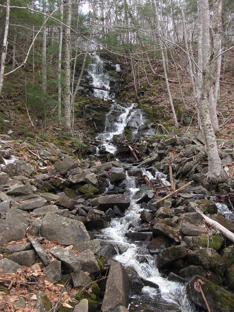
| A view to the falls (or cascade) from the bottom |
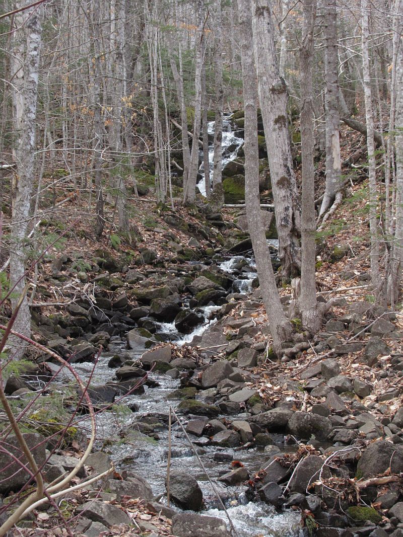 |
| The lowest part of the cascade |
 |
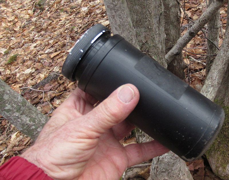
| The geocache container was found laying on the ground. |
 |
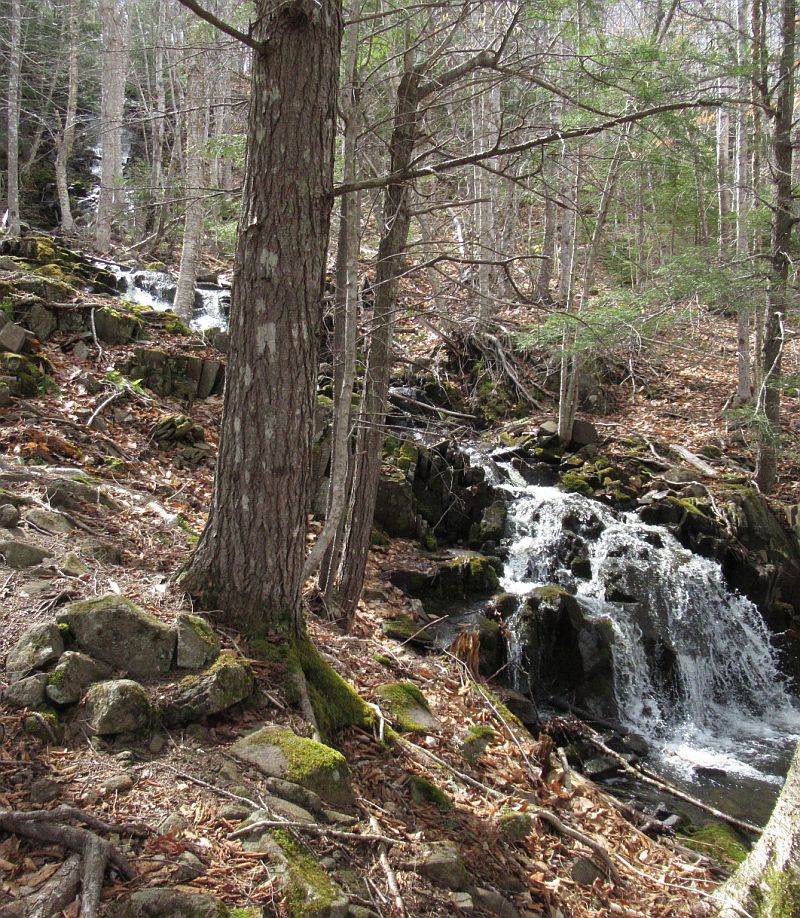
| A view on up the slope showing the middle of the cascade. |
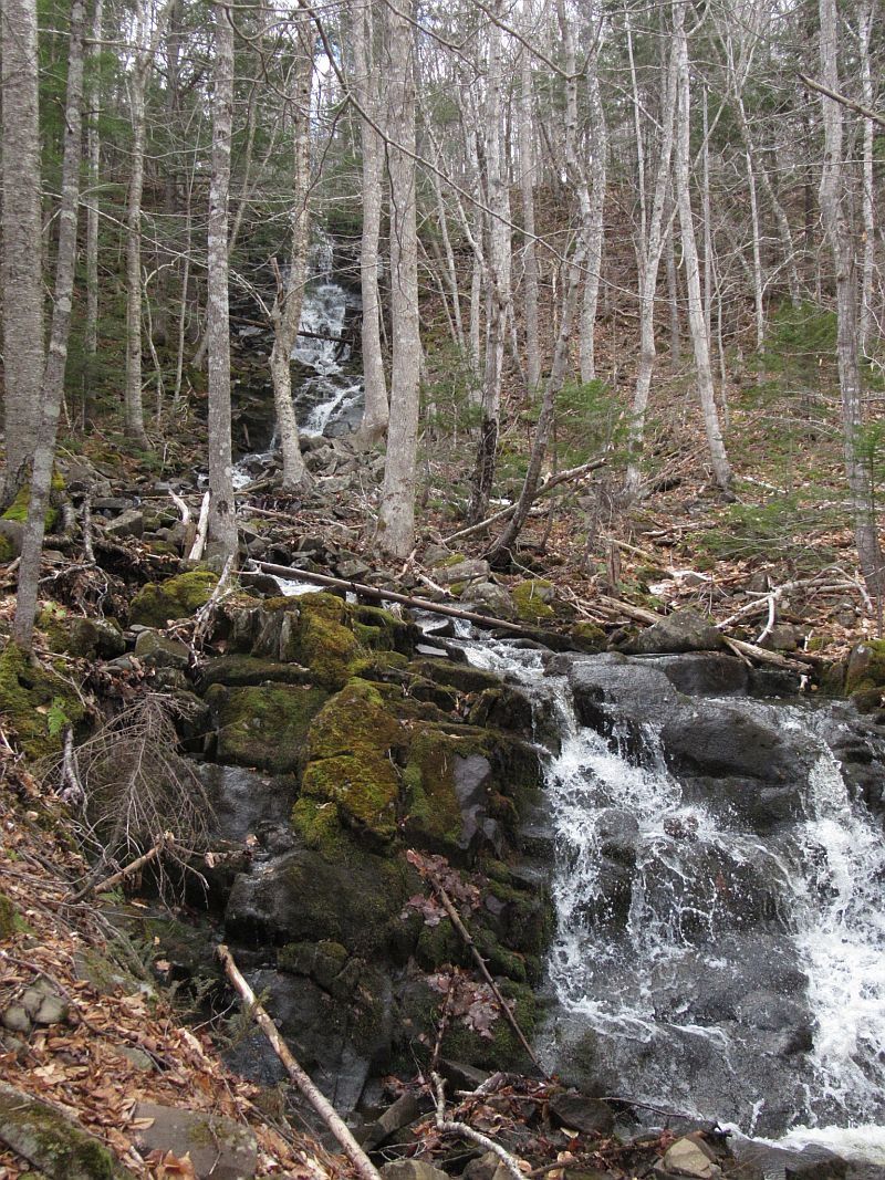 |
| The cascade keeps going and this is the upper part of the cascade. |
 |
| At the top this falls appears to be the last part |
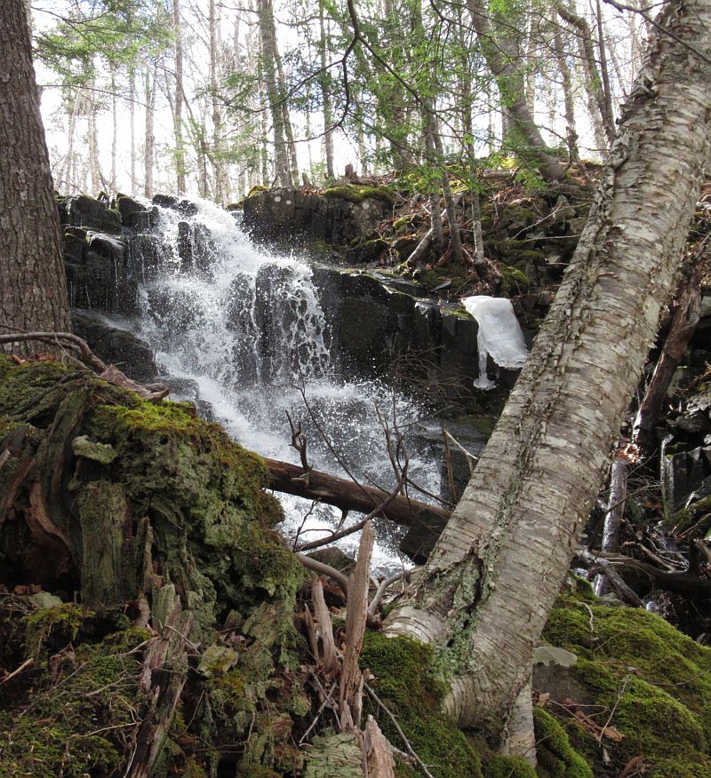 |
| But above that there is yet another gentler cascade of water. |
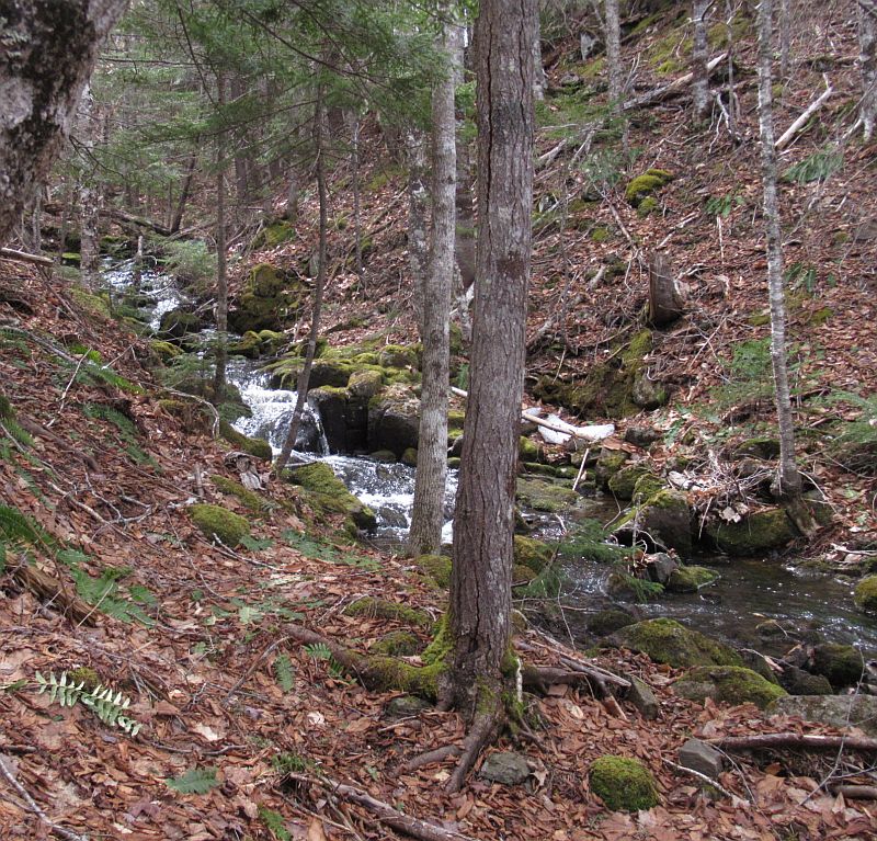 |
| Finally at the top there is a stream feeding the top of the cascade. |
 |
| View on the way down | 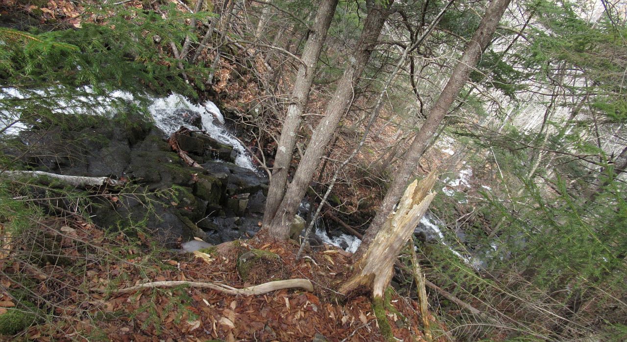 |